

APPLICATION 01
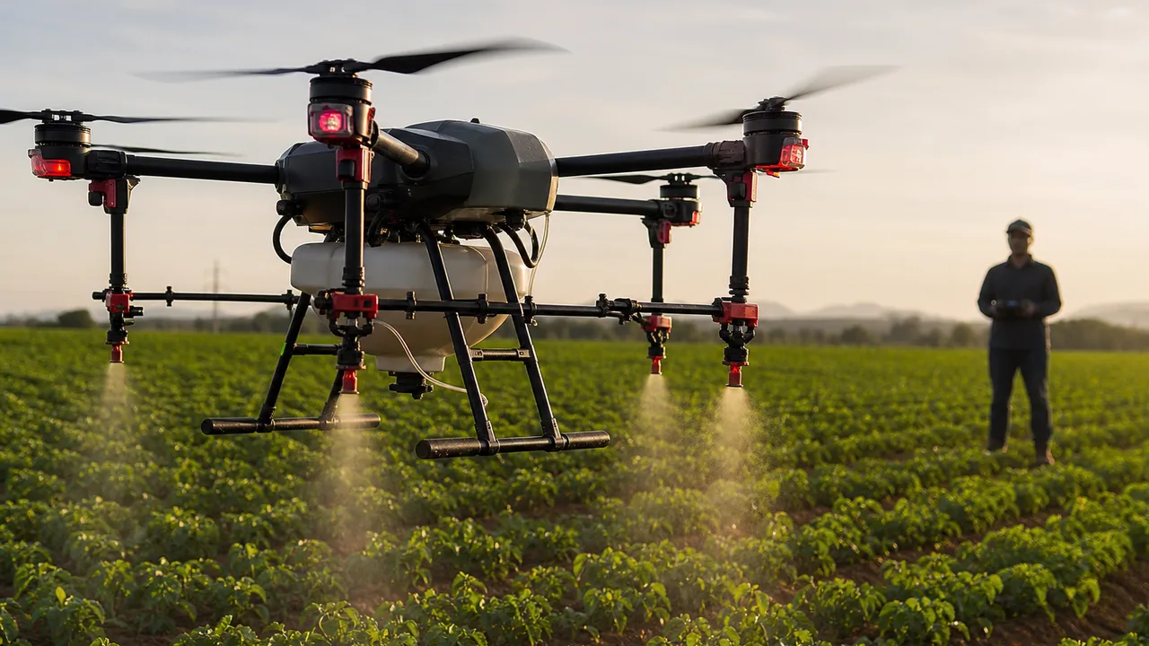
Precision Agriculture
Crop health monitoring, multispectral imaging, precision spraying and farm mapping.
Explore Career PathIndia's drone economy is hiring — HDS maps DGCA certification to careers in agriculture, surveying, and commercial operations.
Drone Career Opportunities
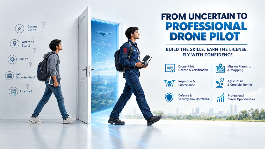
From precision agriculture and infrastructure inspection to emergency response and aerial cinematography, professional drone pilots are building careers across rapidly evolving industries.
APPLICATION 01
Crop health monitoring, multispectral imaging, precision spraying and farm mapping.
Explore Career Path
APPLICATION 02
High-accuracy aerial mapping, orthomosaic generation and topographic surveys.
Explore Career Path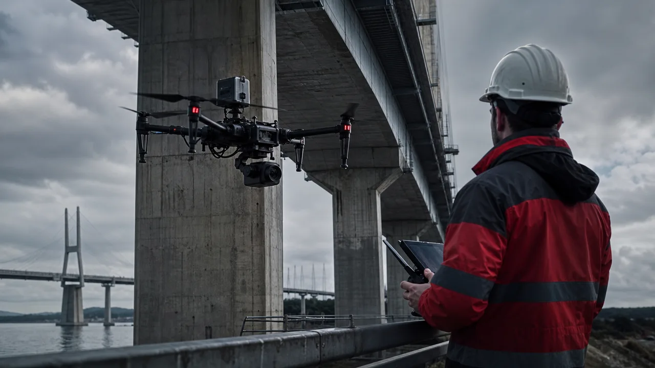
APPLICATION 03
Inspection of bridges, towers, industrial structures and large infrastructure assets.
Explore Career Path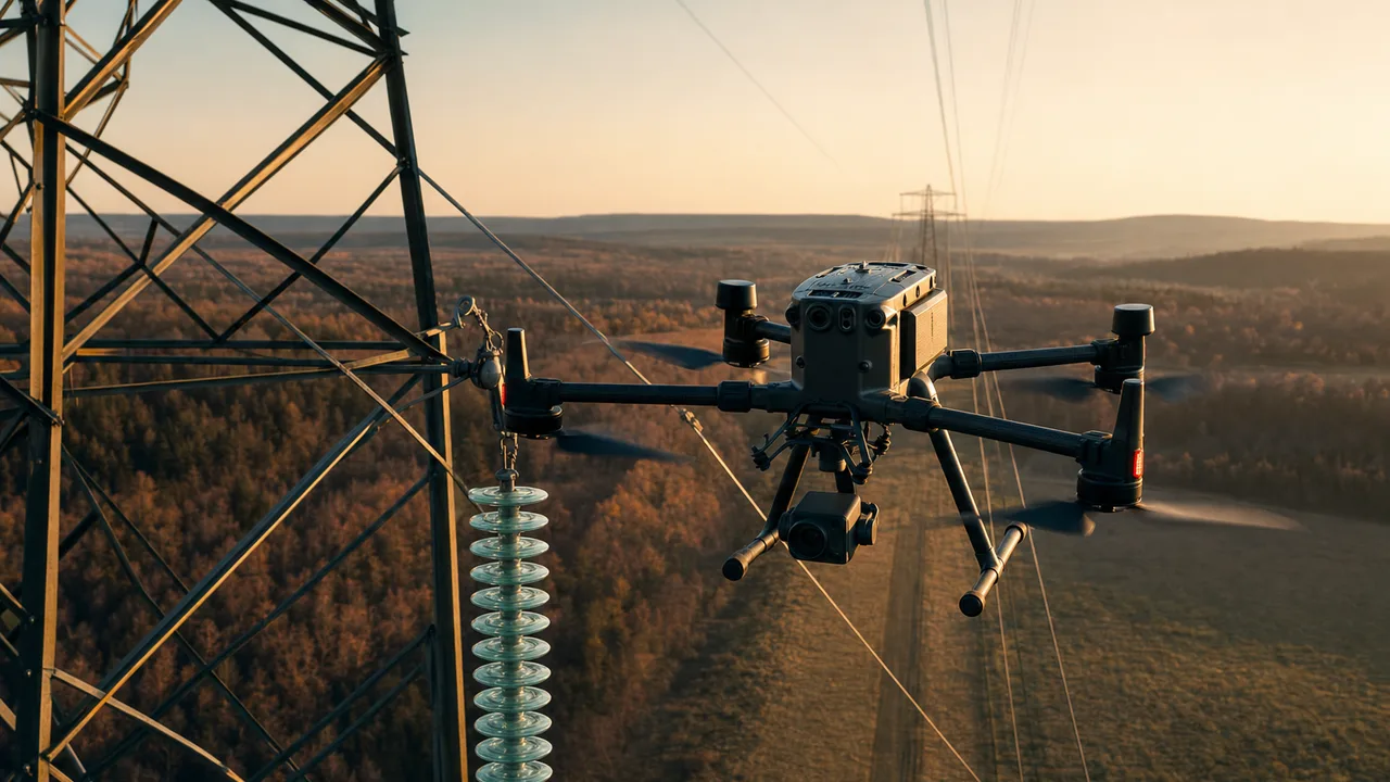
APPLICATION 04
Aerial inspection of transmission lines, electrical towers and utility corridors.
Explore Career Path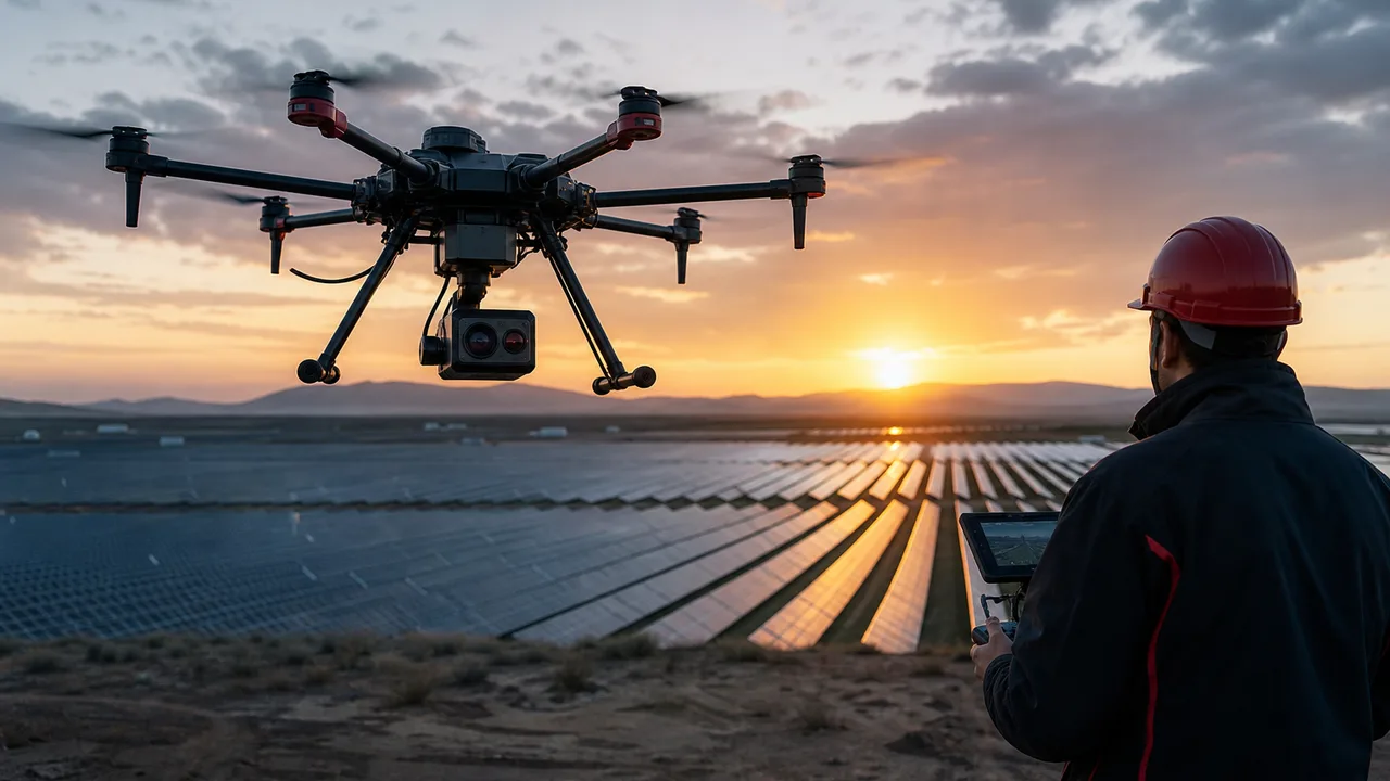
APPLICATION 05
Thermal inspection and performance monitoring of large solar farms.
Explore Career Path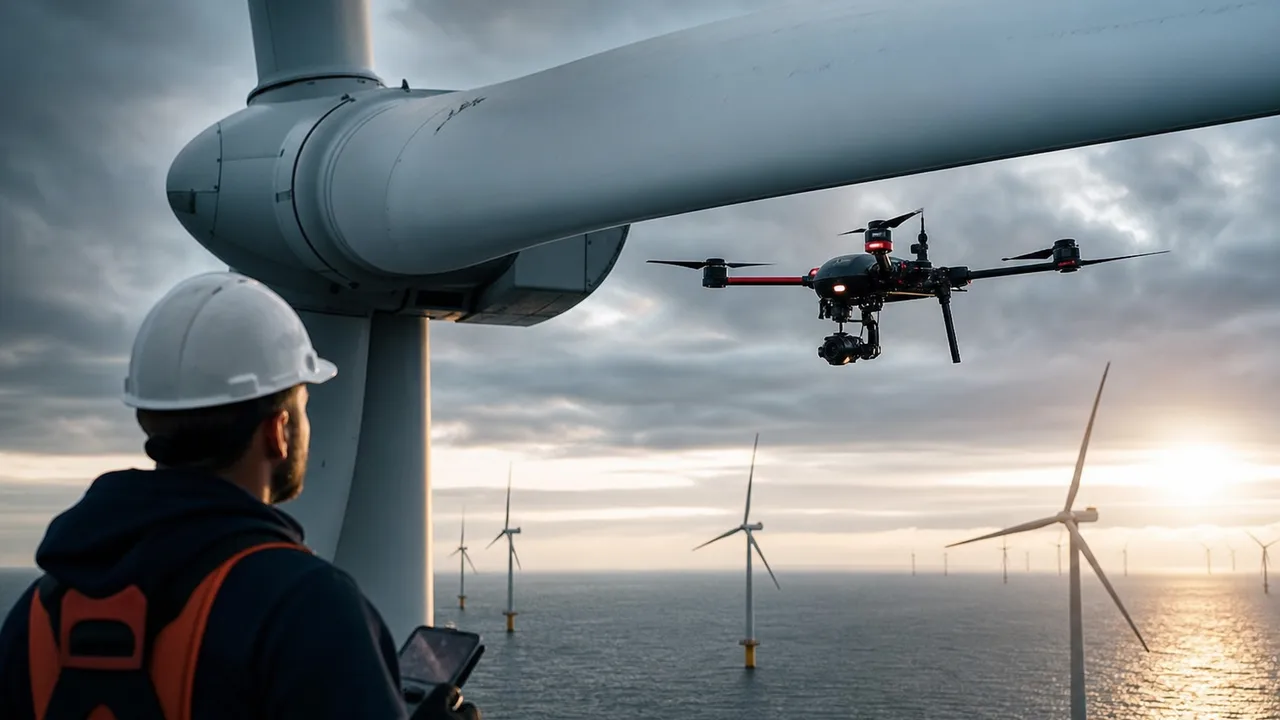
APPLICATION 06
Close-range blade and structural inspection using industrial drones.
Explore Career Path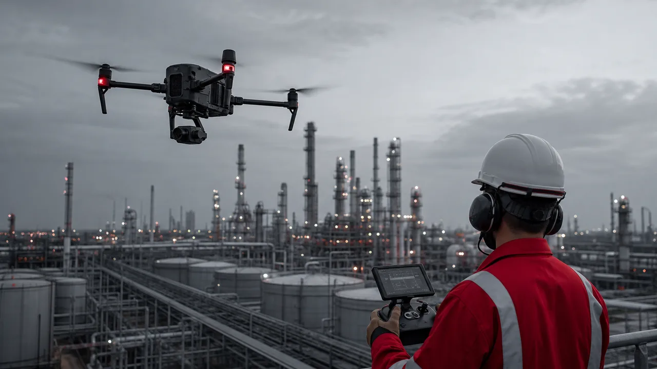
APPLICATION 07
Pipeline monitoring, refinery inspection and industrial asset surveillance.
Explore Career Path
APPLICATION 08
Construction progress tracking, site mapping and volumetric measurement.
Explore Career Path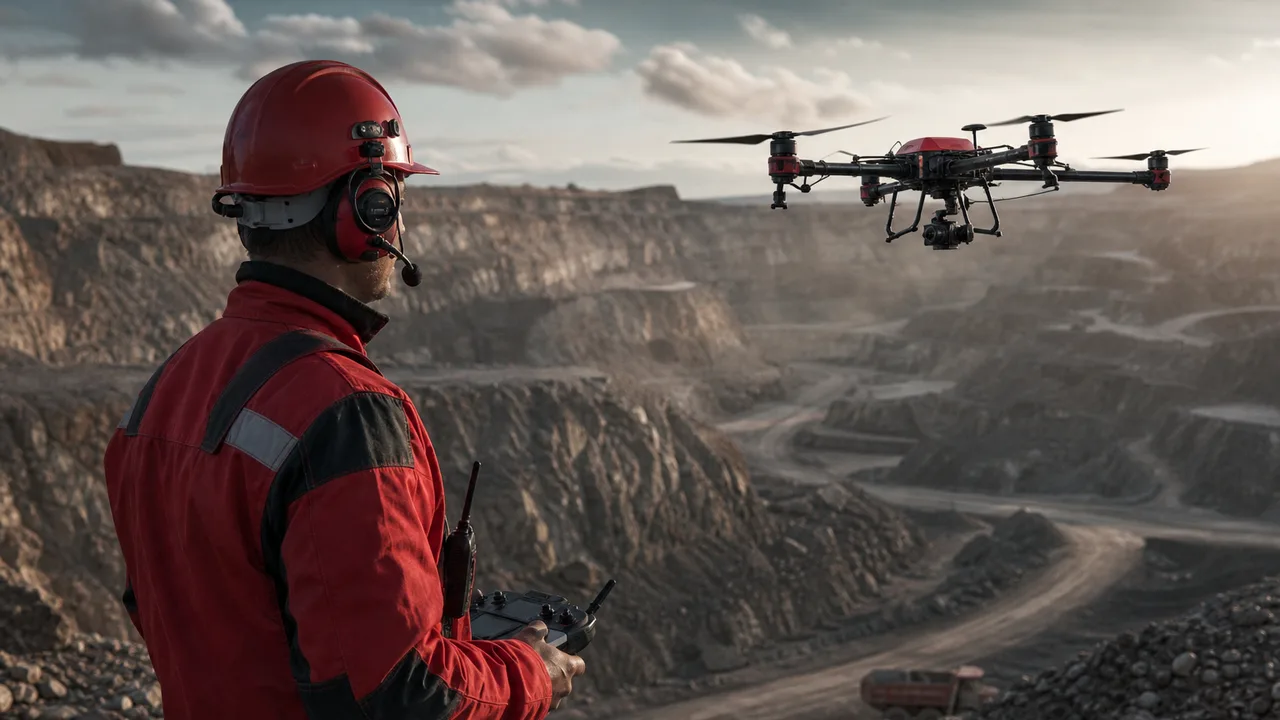
APPLICATION 09
Stockpile measurement, terrain mapping and operational site monitoring.
Explore Career Path
APPLICATION 10
Large-area aerial observation and situational monitoring.
Explore Career Path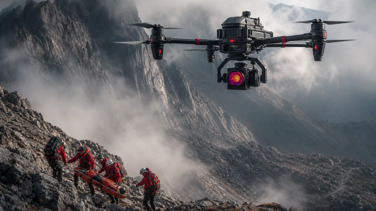
APPLICATION 11
Locating missing persons and supporting rescue teams in difficult terrain.
Explore Career Path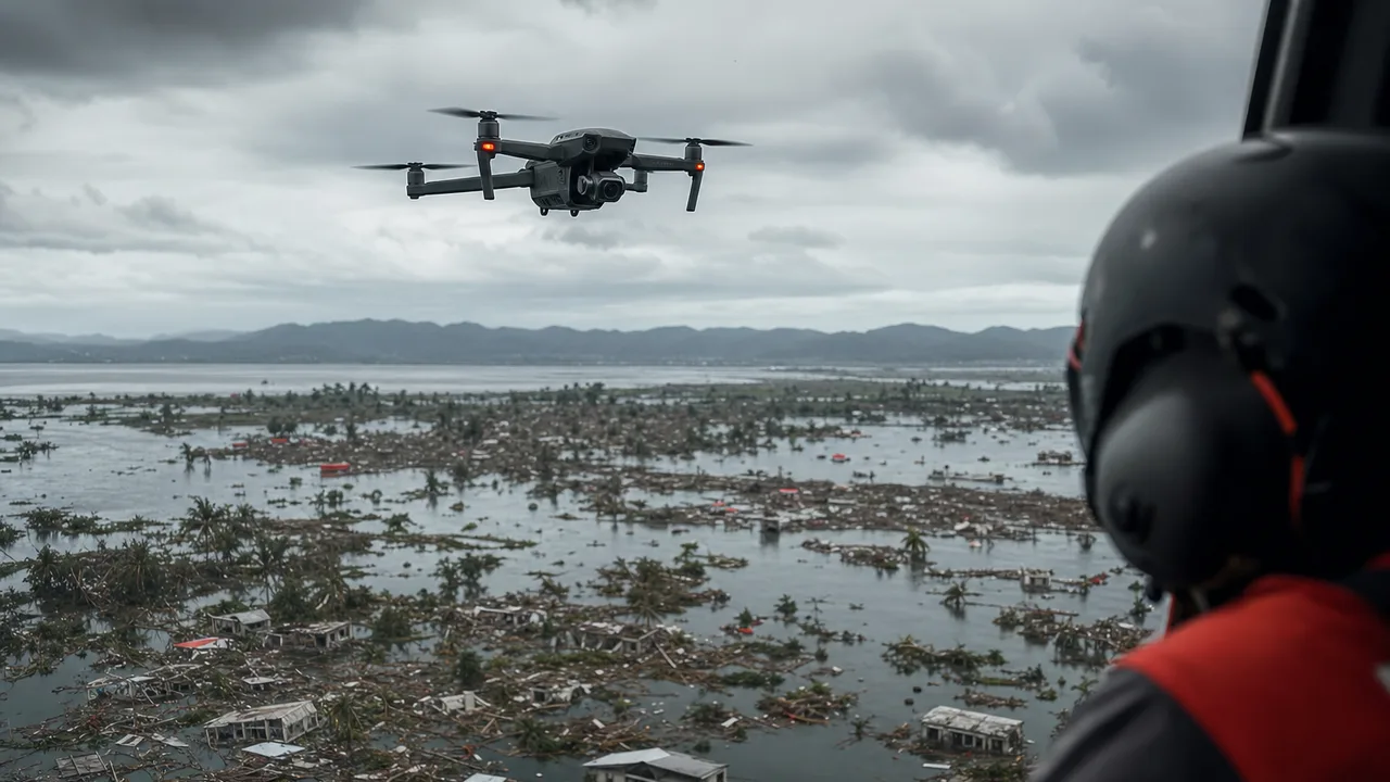
APPLICATION 12
Flood mapping, cyclone damage assessment and emergency response operations.
Explore Career Path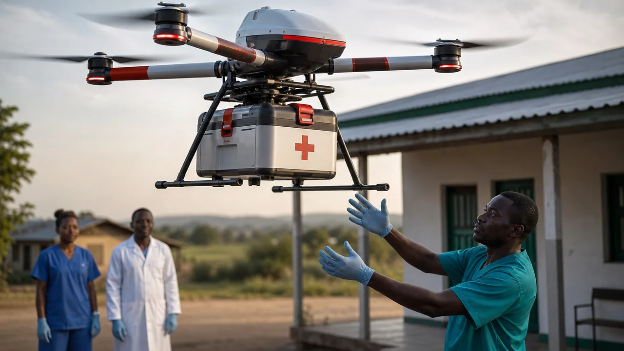
APPLICATION 13
Rapid drone delivery of emergency medicine, blood samples and medical supplies.
Explore Career Path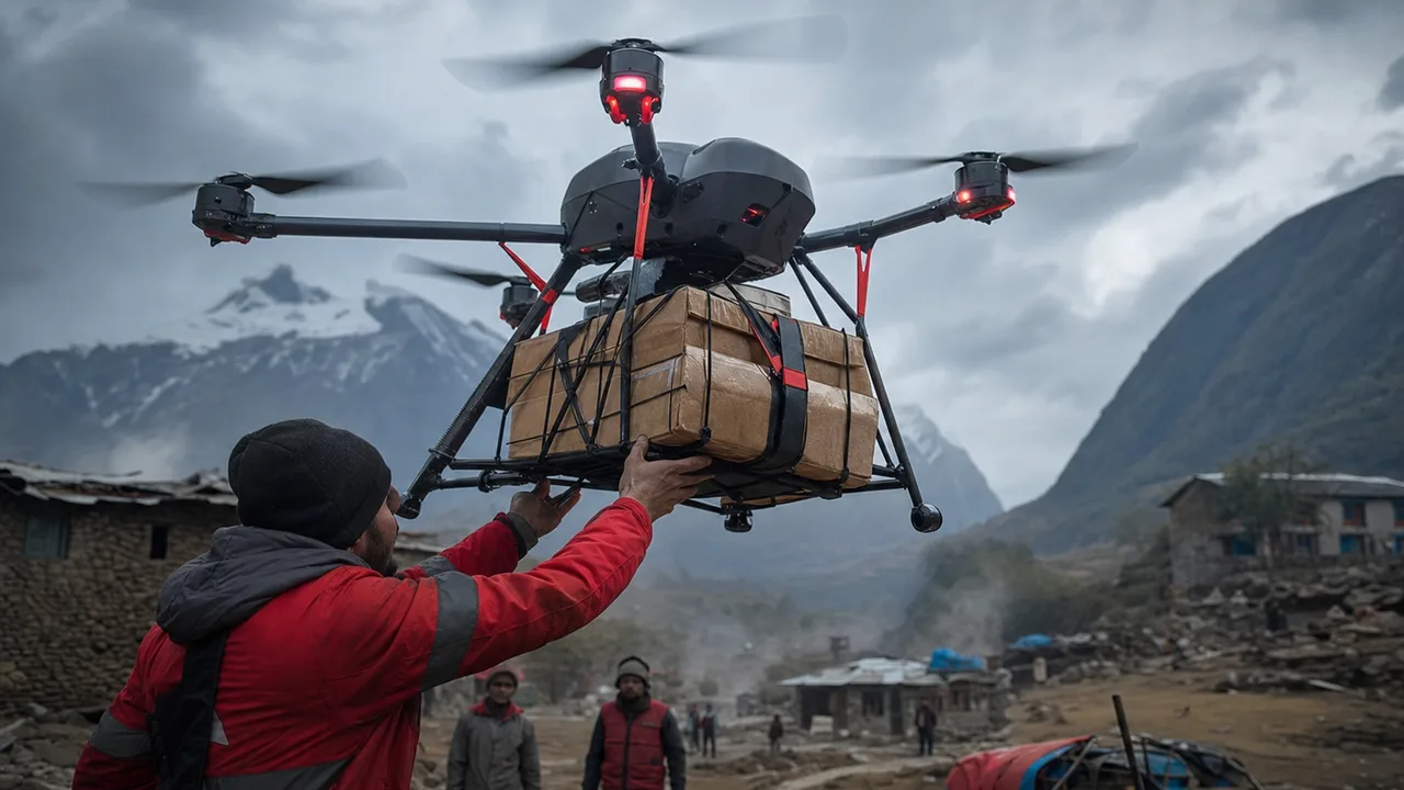
APPLICATION 14
Delivery of essential supplies to isolated or disaster-affected locations.
Explore Career PathAPPLICATION 01
Crop health monitoring, multispectral imaging, precision spraying and farm mapping.
Explore Career PathAPPLICATION 02
High-accuracy aerial mapping, orthomosaic generation and topographic surveys.
Explore Career PathAPPLICATION 03
Inspection of bridges, towers, industrial structures and large infrastructure assets.
Explore Career PathAPPLICATION 04
Aerial inspection of transmission lines, electrical towers and utility corridors.
Explore Career PathAPPLICATION 05
Thermal inspection and performance monitoring of large solar farms.
Explore Career PathAPPLICATION 06
Close-range blade and structural inspection using industrial drones.
Explore Career PathAPPLICATION 07
Pipeline monitoring, refinery inspection and industrial asset surveillance.
Explore Career PathAPPLICATION 08
Construction progress tracking, site mapping and volumetric measurement.
Explore Career PathAPPLICATION 09
Stockpile measurement, terrain mapping and operational site monitoring.
Explore Career PathAPPLICATION 10
Large-area aerial observation and situational monitoring.
Explore Career PathAPPLICATION 11
Locating missing persons and supporting rescue teams in difficult terrain.
Explore Career PathAPPLICATION 12
Flood mapping, cyclone damage assessment and emergency response operations.
Explore Career PathAPPLICATION 13
Rapid drone delivery of emergency medicine, blood samples and medical supplies.
Explore Career PathAPPLICATION 14
Delivery of essential supplies to isolated or disaster-affected locations.
Explore Career Path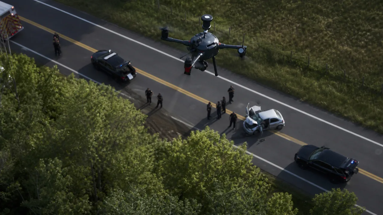
APPLICATION 15
Aerial situational awareness, accident documentation and operational support.
Explore Career Path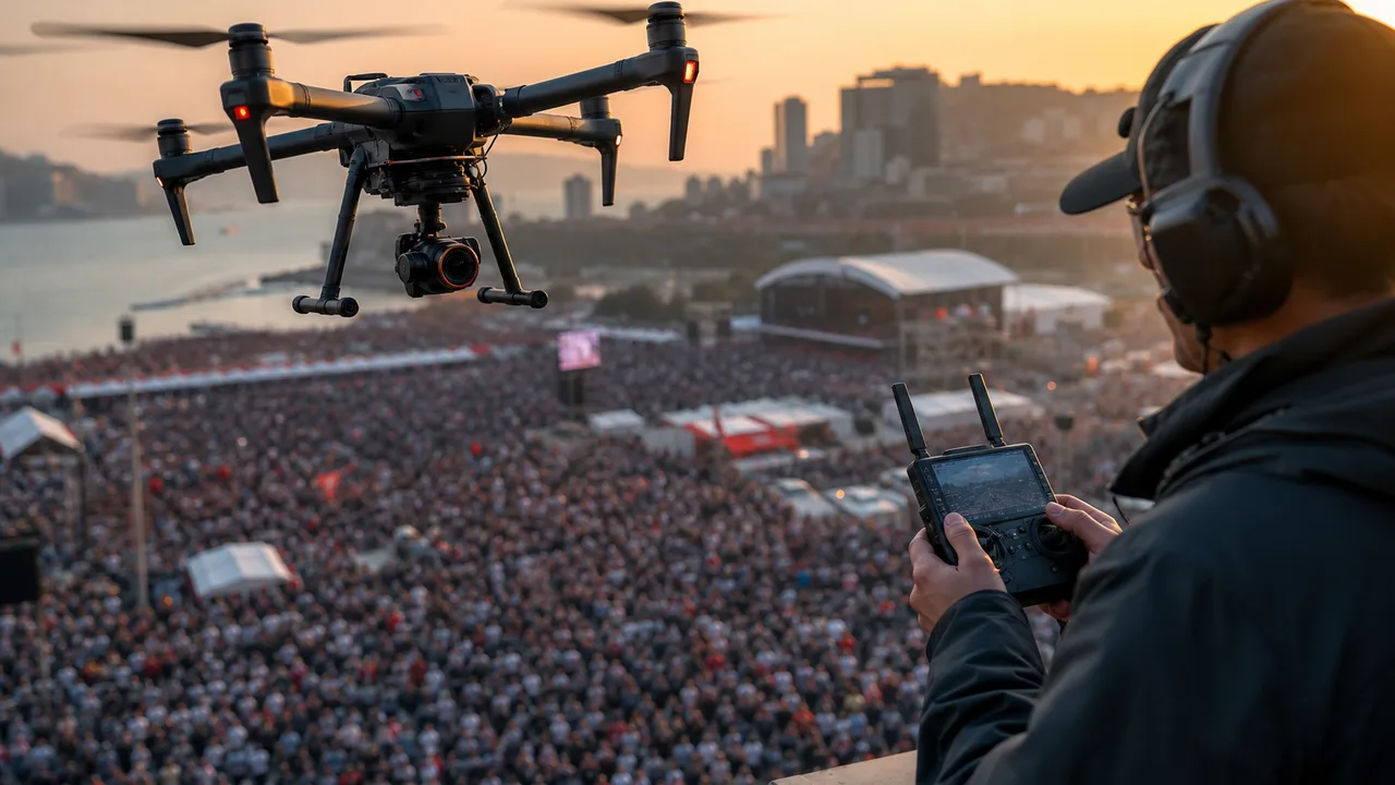
APPLICATION 16
Aerial monitoring for large public events and emergency coordination.
Explore Career Path
APPLICATION 17
Automated perimeter monitoring and industrial facility security.
Explore Career Path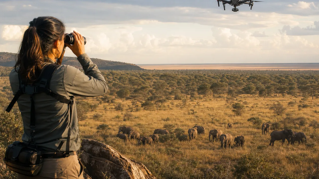
APPLICATION 18
Animal population monitoring, habitat mapping and environmental research.
Explore Career Path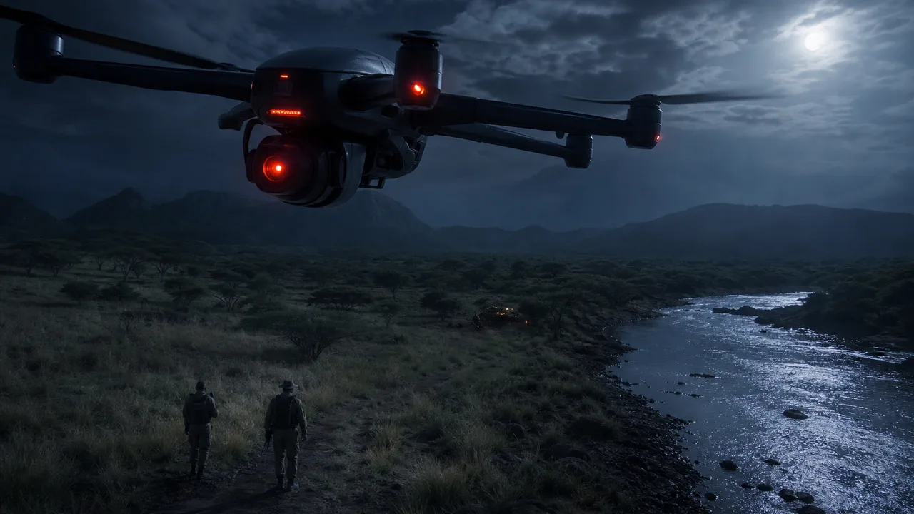
APPLICATION 19
Thermal surveillance and aerial monitoring of protected wildlife areas.
Explore Career Path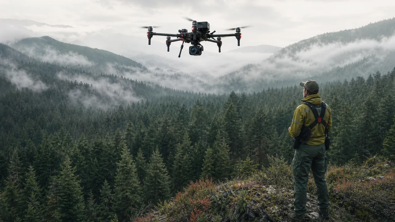
APPLICATION 20
Forest health assessment, fire-risk monitoring and reforestation surveys.
Explore Career Path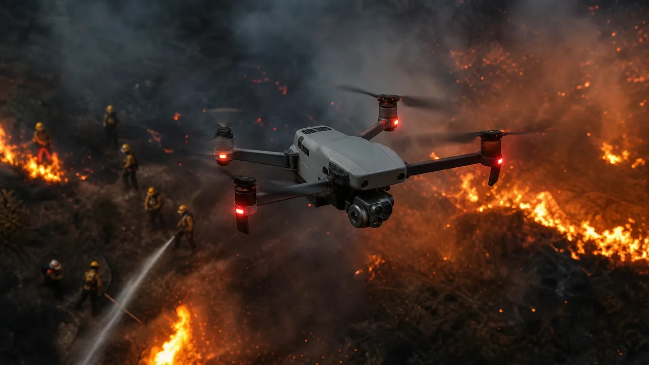
APPLICATION 21
Thermal hotspot detection, wildfire mapping and firefighter situational awareness.
Explore Career Path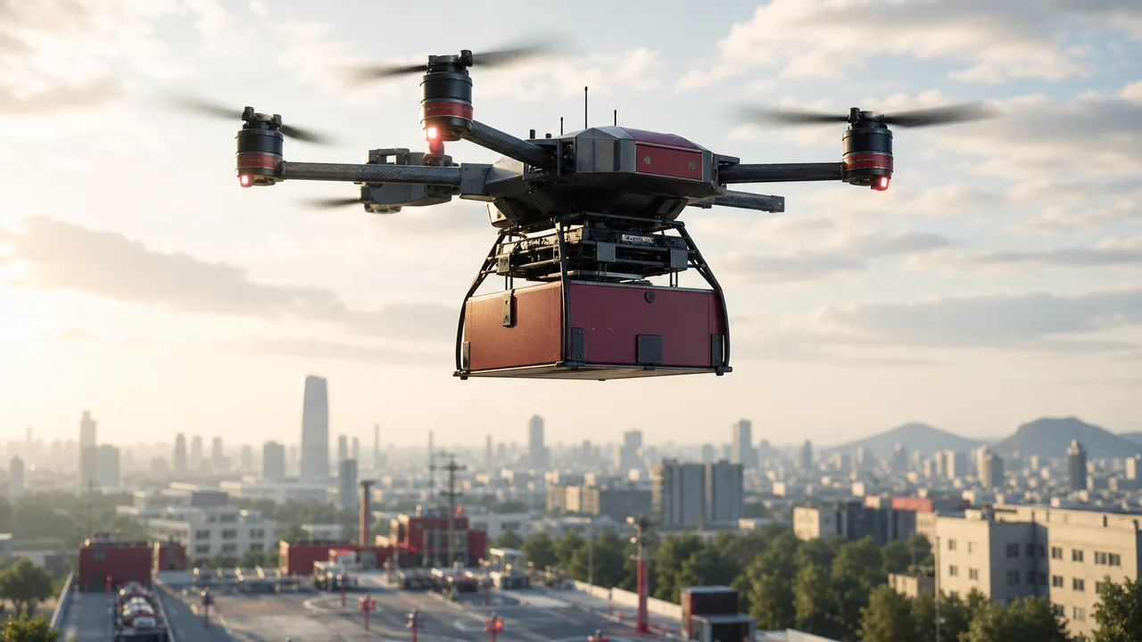
APPLICATION 22
Last-mile delivery and autonomous cargo transportation.
Explore Career Path
APPLICATION 23
Professional aerial photography for real estate, tourism and commercial projects.
Explore Career Path
APPLICATION 24
Dynamic aerial filmmaking for cinema, advertising and media production.
Explore Career Path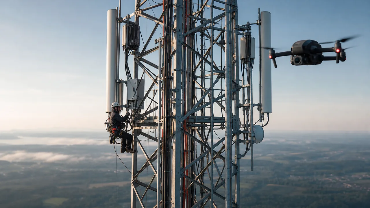
APPLICATION 25
Close-range tower inspection and infrastructure condition assessment.
Explore Career Path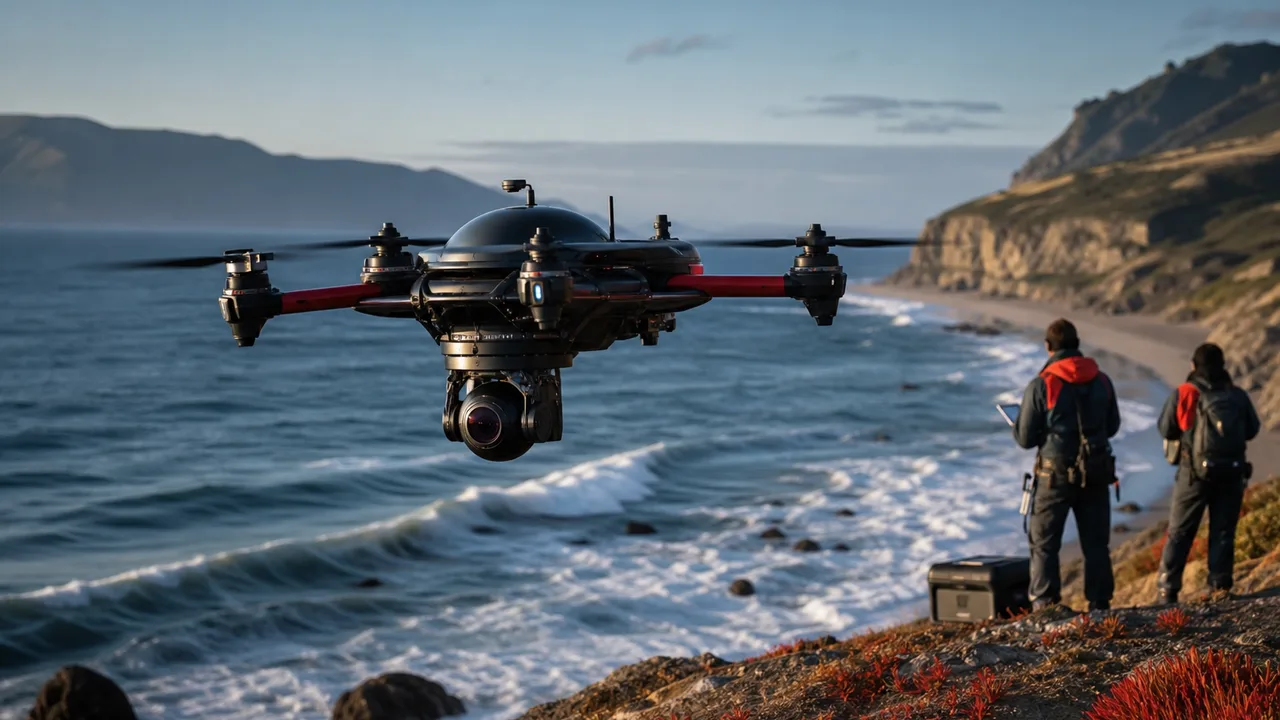
APPLICATION 26
Coastal surveys, marine surveillance and environmental monitoring.
Explore Career Path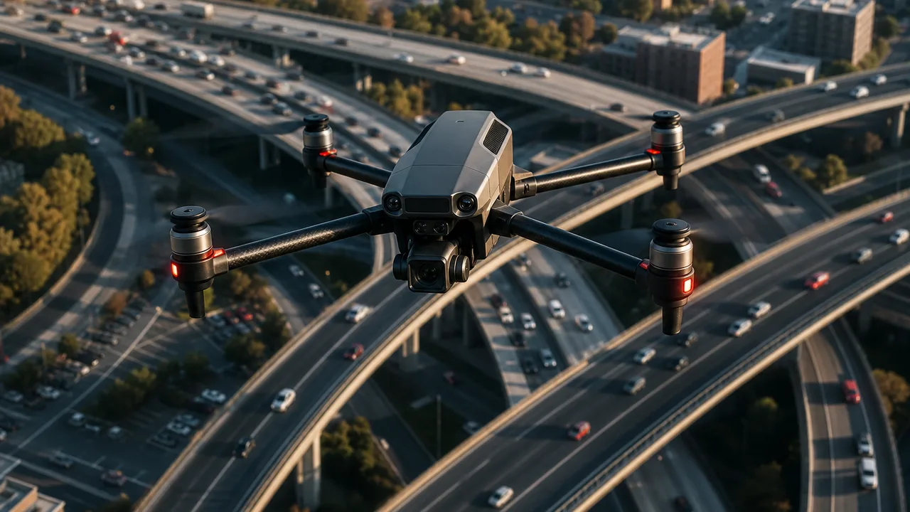
APPLICATION 27
Traffic flow analysis, congestion monitoring and incident assessment.
Explore Career Path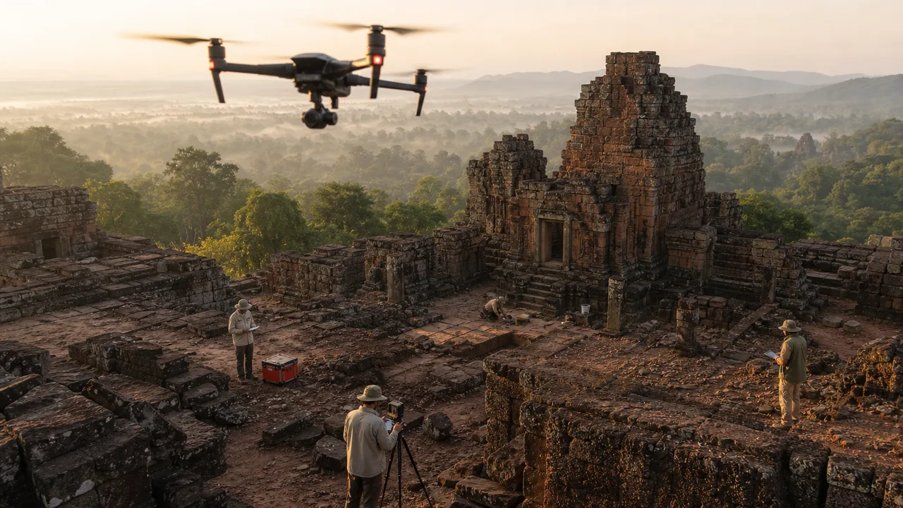
APPLICATION 28
3D documentation, aerial surveys and preservation mapping of heritage sites.
Explore Career PathAPPLICATION 15
Aerial situational awareness, accident documentation and operational support.
Explore Career PathAPPLICATION 16
Aerial monitoring for large public events and emergency coordination.
Explore Career PathAPPLICATION 17
Automated perimeter monitoring and industrial facility security.
Explore Career PathAPPLICATION 18
Animal population monitoring, habitat mapping and environmental research.
Explore Career PathAPPLICATION 19
Thermal surveillance and aerial monitoring of protected wildlife areas.
Explore Career PathAPPLICATION 20
Forest health assessment, fire-risk monitoring and reforestation surveys.
Explore Career PathAPPLICATION 21
Thermal hotspot detection, wildfire mapping and firefighter situational awareness.
Explore Career PathAPPLICATION 22
Last-mile delivery and autonomous cargo transportation.
Explore Career PathAPPLICATION 23
Professional aerial photography for real estate, tourism and commercial projects.
Explore Career PathAPPLICATION 24
Dynamic aerial filmmaking for cinema, advertising and media production.
Explore Career PathAPPLICATION 25
Close-range tower inspection and infrastructure condition assessment.
Explore Career PathAPPLICATION 26
Coastal surveys, marine surveillance and environmental monitoring.
Explore Career PathAPPLICATION 27
Traffic flow analysis, congestion monitoring and incident assessment.
Explore Career PathAPPLICATION 28
3D documentation, aerial surveys and preservation mapping of heritage sites.
Explore Career PathAPPLICATION 01
Crop health monitoring, multispectral imaging, precision spraying and farm mapping.
Explore Career PathAPPLICATION 02
High-accuracy aerial mapping, orthomosaic generation and topographic surveys.
Explore Career PathAPPLICATION 03
Inspection of bridges, towers, industrial structures and large infrastructure assets.
Explore Career PathAPPLICATION 04
Aerial inspection of transmission lines, electrical towers and utility corridors.
Explore Career PathAPPLICATION 05
Thermal inspection and performance monitoring of large solar farms.
Explore Career PathAPPLICATION 06
Close-range blade and structural inspection using industrial drones.
Explore Career PathAPPLICATION 07
Pipeline monitoring, refinery inspection and industrial asset surveillance.
Explore Career PathAPPLICATION 08
Construction progress tracking, site mapping and volumetric measurement.
Explore Career PathAPPLICATION 09
Stockpile measurement, terrain mapping and operational site monitoring.
Explore Career PathAPPLICATION 10
Large-area aerial observation and situational monitoring.
Explore Career PathAPPLICATION 11
Locating missing persons and supporting rescue teams in difficult terrain.
Explore Career PathAPPLICATION 12
Flood mapping, cyclone damage assessment and emergency response operations.
Explore Career PathAPPLICATION 13
Rapid drone delivery of emergency medicine, blood samples and medical supplies.
Explore Career PathAPPLICATION 14
Delivery of essential supplies to isolated or disaster-affected locations.
Explore Career PathAPPLICATION 15
Aerial situational awareness, accident documentation and operational support.
Explore Career PathAPPLICATION 16
Aerial monitoring for large public events and emergency coordination.
Explore Career PathAPPLICATION 17
Automated perimeter monitoring and industrial facility security.
Explore Career PathAPPLICATION 18
Animal population monitoring, habitat mapping and environmental research.
Explore Career PathAPPLICATION 19
Thermal surveillance and aerial monitoring of protected wildlife areas.
Explore Career PathAPPLICATION 20
Forest health assessment, fire-risk monitoring and reforestation surveys.
Explore Career PathAPPLICATION 21
Thermal hotspot detection, wildfire mapping and firefighter situational awareness.
Explore Career PathAPPLICATION 22
Last-mile delivery and autonomous cargo transportation.
Explore Career PathAPPLICATION 23
Professional aerial photography for real estate, tourism and commercial projects.
Explore Career PathAPPLICATION 24
Dynamic aerial filmmaking for cinema, advertising and media production.
Explore Career PathAPPLICATION 25
Close-range tower inspection and infrastructure condition assessment.
Explore Career PathAPPLICATION 26
Coastal surveys, marine surveillance and environmental monitoring.
Explore Career PathAPPLICATION 27
Traffic flow analysis, congestion monitoring and incident assessment.
Explore Career PathAPPLICATION 28
3D documentation, aerial surveys and preservation mapping of heritage sites.
Explore Career PathAPPLICATION 01
Crop health monitoring, multispectral imaging, precision spraying and farm mapping.
Explore Career PathAPPLICATION 02
High-accuracy aerial mapping, orthomosaic generation and topographic surveys.
Explore Career PathAPPLICATION 03
Inspection of bridges, towers, industrial structures and large infrastructure assets.
Explore Career PathAPPLICATION 04
Aerial inspection of transmission lines, electrical towers and utility corridors.
Explore Career PathAPPLICATION 05
Thermal inspection and performance monitoring of large solar farms.
Explore Career PathAPPLICATION 06
Close-range blade and structural inspection using industrial drones.
Explore Career PathAPPLICATION 07
Pipeline monitoring, refinery inspection and industrial asset surveillance.
Explore Career PathAPPLICATION 08
Construction progress tracking, site mapping and volumetric measurement.
Explore Career PathAPPLICATION 09
Stockpile measurement, terrain mapping and operational site monitoring.
Explore Career PathAPPLICATION 10
Large-area aerial observation and situational monitoring.
Explore Career PathAPPLICATION 11
Locating missing persons and supporting rescue teams in difficult terrain.
Explore Career PathAPPLICATION 12
Flood mapping, cyclone damage assessment and emergency response operations.
Explore Career PathAPPLICATION 13
Rapid drone delivery of emergency medicine, blood samples and medical supplies.
Explore Career PathAPPLICATION 14
Delivery of essential supplies to isolated or disaster-affected locations.
Explore Career PathAPPLICATION 15
Aerial situational awareness, accident documentation and operational support.
Explore Career PathAPPLICATION 16
Aerial monitoring for large public events and emergency coordination.
Explore Career PathAPPLICATION 17
Automated perimeter monitoring and industrial facility security.
Explore Career PathAPPLICATION 18
Animal population monitoring, habitat mapping and environmental research.
Explore Career PathAPPLICATION 19
Thermal surveillance and aerial monitoring of protected wildlife areas.
Explore Career PathAPPLICATION 20
Forest health assessment, fire-risk monitoring and reforestation surveys.
Explore Career PathAPPLICATION 21
Thermal hotspot detection, wildfire mapping and firefighter situational awareness.
Explore Career PathAPPLICATION 22
Last-mile delivery and autonomous cargo transportation.
Explore Career PathAPPLICATION 23
Professional aerial photography for real estate, tourism and commercial projects.
Explore Career PathAPPLICATION 24
Dynamic aerial filmmaking for cinema, advertising and media production.
Explore Career PathAPPLICATION 25
Close-range tower inspection and infrastructure condition assessment.
Explore Career PathAPPLICATION 26
Coastal surveys, marine surveillance and environmental monitoring.
Explore Career PathAPPLICATION 27
Traffic flow analysis, congestion monitoring and incident assessment.
Explore Career PathAPPLICATION 28
3D documentation, aerial surveys and preservation mapping of heritage sites.
Explore Career PathEntry commercial operations
Estimated annual
Agri, survey or inspection focus
Estimated annual
Fleet management & client operations
Estimated annual
Agri spraying, survey, inspection and defence sectors are actively recruiting DGCA-certified pilots. HDS alumni work across partner organisations nationwide in field operations, fleet coordination, and specialist flying roles.